Land
Connections 4 Part Planning Series
Part
2: Inventory & Analysis
Author:
Alison Kelly, Landscape Architect
| |
The
previous issue of Land Connections kicked off
our planning series by highlighting current
trends in recreation planning. In this
second installment of the
four-part
recreation planning series
,
the focus will be on
inventory
and analysis methodologies
used in parks and recreation
planning. Upcoming issues of Land
Connections will address
public
outreach techniques and financial management
strategies
.
| |
The practice
of planning is no different from any other field
in that the best and strongest recommendations
are based upon careful interpretation of
real-world data. How do parks and
recreation planners obtain and interpret
data? Some of this comes in the form of
public outreach feedback, which will be
discussed in more detail in month’s Land
Connections article. Much of the data that
shapes our cities and towns, however, comes in
the form of data-based maps.
| |
A
History of Data-Based Mapping
Data-based
mapping is not a new
practice. Practitioners of landscape
architecture and planning began to utilize a
system of map overlays to generate new insights
into planning efforts in the mid-20th
Century. At its inception, the practice
included analysis using transparent maps of a
given area at the same scale. Each sheet
would show a different aspect of the map –
watersheds, elevations, soils, zoning,
population, etc. When layered over one
another with a particular question in mind, such
as, “where is the most appropriate buildable
land in this area?” the data provided a window
into the area’s unique strengths, weaknesses,
opportunities, and threats (SWOT). The
basic concept of this practice remains
unchanged, although advances in technology and
data gathering have created new and complex ways
to generate and analyze this data. GIS, or
Geographic Information System mapping
technology, is the most common system currently
used.
(1)
GIS provides a way to overlay data-based
information associated with geographic
points. Many municipalities maintain GIS
systems to visually demonstrate for the public
complex planning concepts such as land use
zoning.
| |
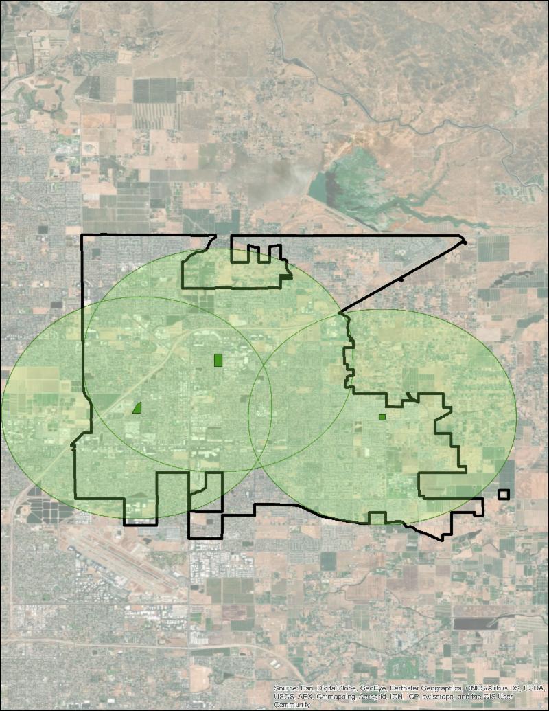
Parks and
recreation planning professionals most commonly
use GIS to study existing conditions and
illustrate areas of particular need within a
geographic location. For example, a planner may
begin with a question about how equitably public
parks are currently distributed across a City.
Using map layers showing population density,
income levels, racial distribution data (if
available), and locations of existing parks, the
planner can begin to draw conclusions about
whether or not current distribution is equitable
for the community and how to prioritize locating
future parks.
| |
Rethinking
GIS
At
the forefront of groundbreaking new planning
studies, is the concept of utilizing GIS to
provide a window into previously unexplored
issues of equality and environmental
justice. One recent article posted on
CityLab.com arguing for equitable distribution
of dog parks across public recreation systems
used GIS maps showing dog ownership, dog park
location, racial distribution, and leash law
violations of two US Cities to build a
compelling case demonstrating how the unequal
distribution of dog parks across City boundaries
reflects and reinforces systemic
inequalities.
(2)
The
Harvard Kennedy School produced the Mapping
Inequality project, an interactive,
publicly-accessible online mapping tool using
data mapping overlay tools.
(3)
Mapping Inequality allows users to see New Deal
era redlining maps of different Cities across
the US along with racial distribution data and
environmental risks, and to compare this data to
current City data in order to illustrate how
historical practices have continued to affect
today’s populations.
| |
A
New Hi-Tech Era
Inventory
and analysis in planning is entering a new
era. Data powerhouse Google launched
Sidewalk Labs in 2015 with the goal of
“reimagining cities to improve quality of
life.” Utilizing parent company Google’s
strengths in data gathering and management,
Sidewalk Labs has begun to reach out into the
public realm via subsidiaries such as Coord and
apps “Open Curbs” and “Common
Space.” Focused on creating up-to-date maps
of public places, these mechanisms offer public
partners ways to inventory details of public
spaces. Open Curbs provides municipalities
a method to catalogue City curbs in terms of
use/restrictions and is currently most helpful
to areas which experience dense urban
traffic. Common Space, still in its pilot
stage, aims to partner with public clients to
launch project-specific apps for public parks
and open spaces through which members of the
public can contribute data about usage patterns,
creating a crowdsourced post-occupancy study.
| |
While
data-based mapping remains the most commonly
used tool for maintaining inventory of the
public realm, practitioners will continue to
find innovative ways to analyze and interpret
data. The practice of analysis through
inquisitive layering of mapped data is elegantly
simple in practice and continues to lead to new
revelations about the ways land planning affects
the lives of a given area’s
residents. Moreover, the integration of new
technologies and methods of data-gathering will
increase the relevance of planning maps as
information that is loaded into databases in
real-time. Crowdsourcing information about
the public realm, from how people use parks to
the condition of public sidewalks, will in turn
create new opportunities for public agencies to
respond to the needs of their residents.
| |
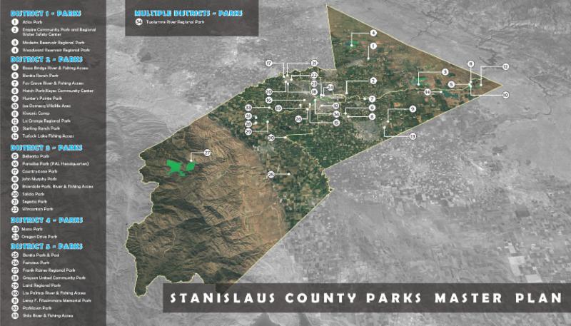
While
every project is unique due to context,
location, and the needs of the public, these
rising trends have been identified from among
recent projects in California and surrounding
regions. These are just a few highlighted
trends in the large and diverse practice of
parks and recreation planning. More facets
of planning for today’s communities will be
discussed over the next three installments of
Land Connections features, as we continue our
four-part planning series.
| |
About the
Author
Alison
Kelly, PLA, LEED AP ND, is a Landscape Architect
with O’Dell Engineering. She is the
Co-Chair of the ASLA Women in Landscape
Architecture Professional Practice Network and
Chair of the ASLA Archives & Collections
Committee.
| |
Media
Update -
Peer Review of Playworld Systems' Inclusive Play
Design Guide
|
Chad
Kennedy was recently invited to complete a peer
review of Playworld Systems' Inclusive Play
Design Guide. As an expert on the subject of
inclusive play space design, Mr. Kennedy
completed a comprehensive review of the draft
document providing suggestions for additions and
redaction of content and material. The guide is
available
here
.
| | | |
Funding Opportunity - Due 5/31/2019
Caplan
Foundation for Early Childhood
The
Caplan Foundation for Early Childhood is an
incubator of promising research and development
projects that appear likely to improve the
welfare of young children, from infancy through
7 years, in the United States. Welfare is
broadly defined to include physical and mental
health, safety, nutrition, education, play,
familial support, acculturation, societal
integration, and childcare. For additional
information on this and other funding
opportunities, please visit our
Resource Center
.
| | | |
Project
Update -
Proposition 68 Grant Assistance for the City of
Los Banos
|
O’Dell
Engineering has
completed
grant preparation assistance for a number of
entities throughout California. Recently,
O’Dell worked with the City of Los Banos to
complete preparatory materials for a Proposition
68 grant application. The California
Natural Resources Agency has opened the
Cultural, Community and Natural Resources Grant
Program with the $37 million appropriated under
Proposition 68. Qualifying applicants may
submit projects focused on one of five
categories – resources; fossil fuel power plant
conversions; science centers; park, water and
natural resources; and community, culture and
education. O’Dell’s support for the City of
Los Banos submittal included a conceptual
project site plan and cost estimate customized
to the specifications of the grant.
| | | |
| | | | |