O’Dell Engineering Launches Drone Surveying & Mapping
May 25, 2017
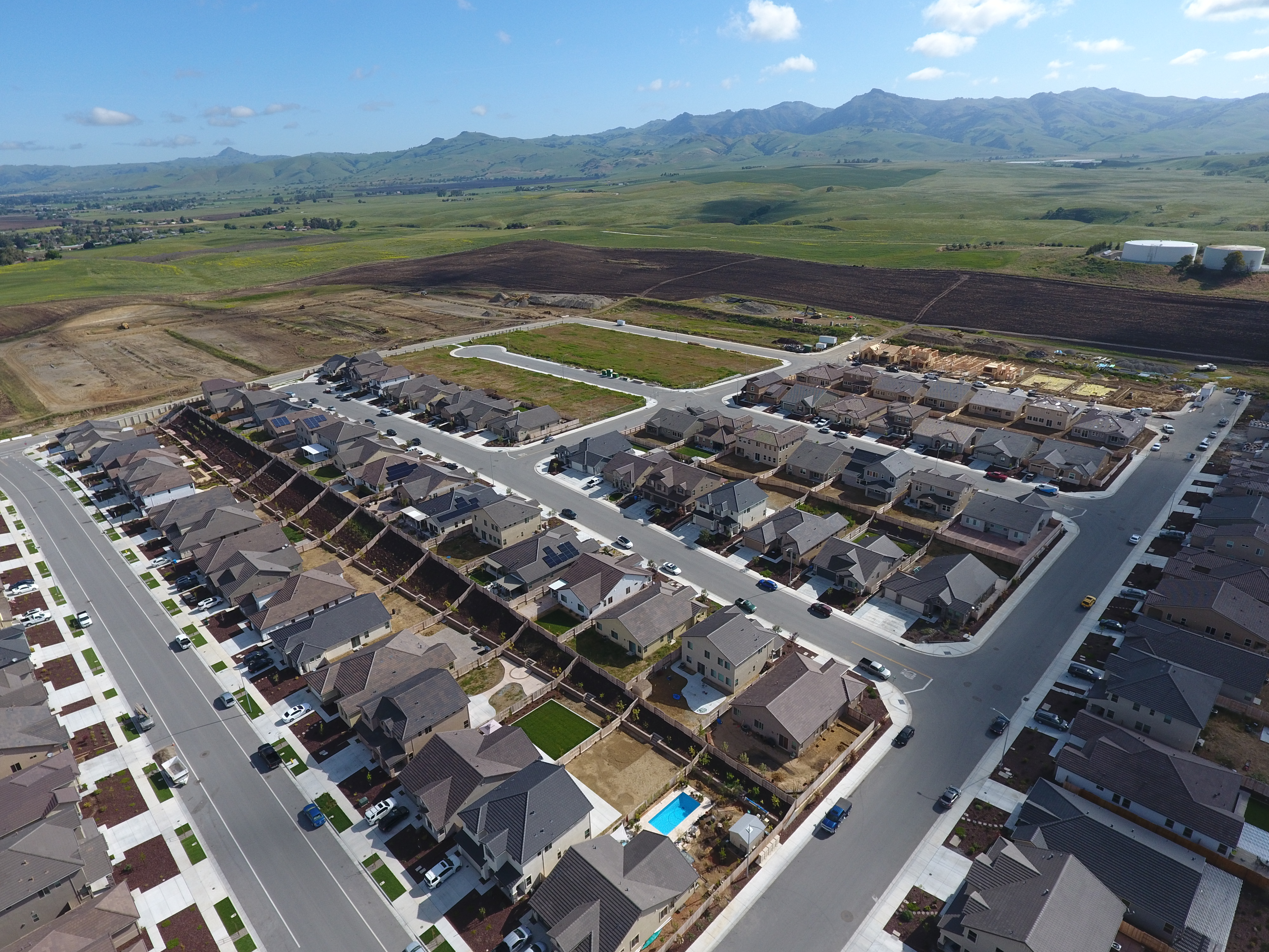
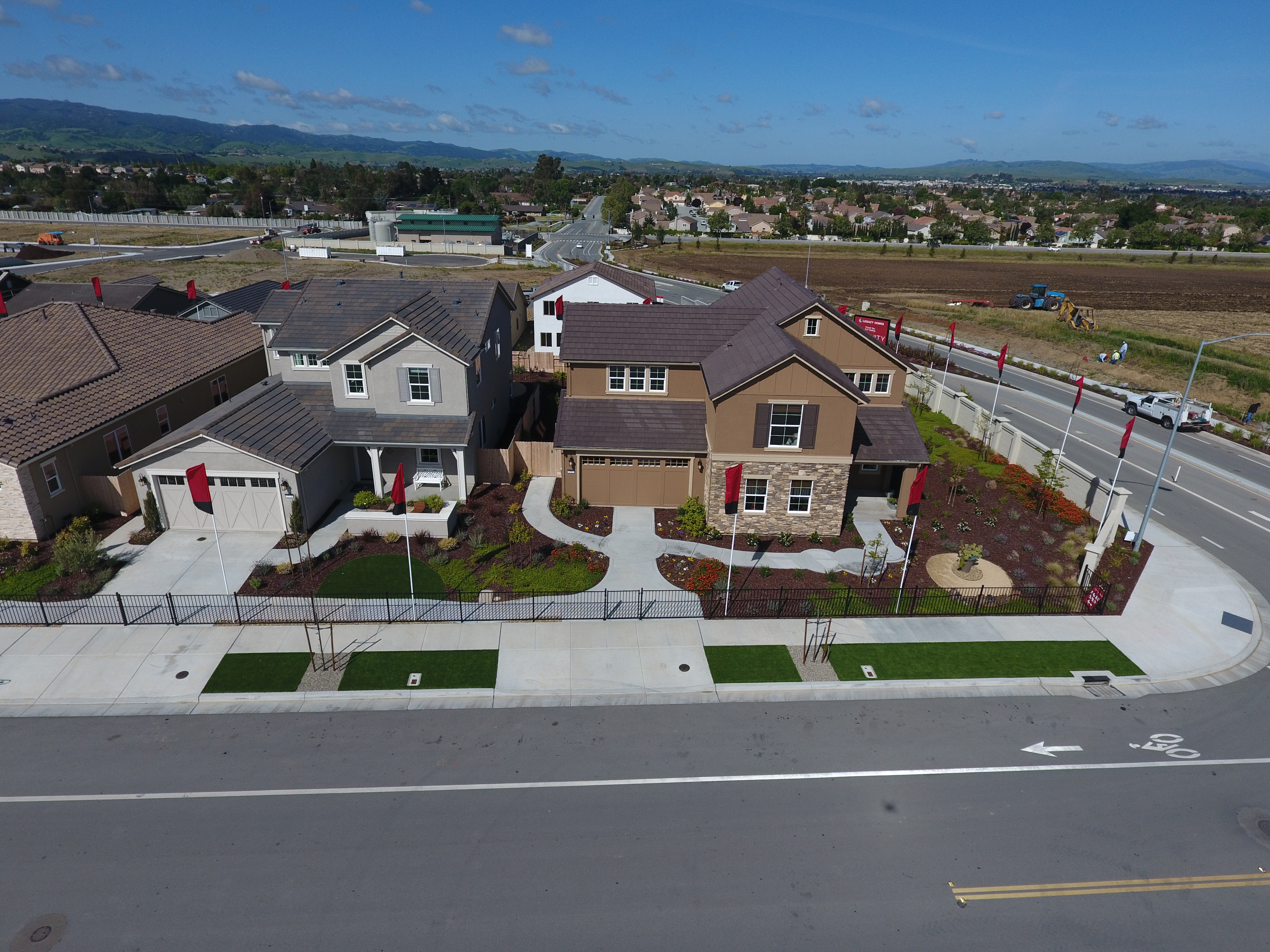
O’Dell staff are constantly on the lookout for ways to improve product accuracy, maximize efficiency, and lower costs for our clients. The addition of mapping drone technology with unmanned aircraft systems (UAS) to the survey tool box has done just that for our clients.
The technology allows us to:
- minimize time required in the field by survey crews;
- quickly procure aerial photographs of current site conditions;
- obtain topographic and point cloud data for larger areas without the need to retain an aerial mapping consultant;
- capture measurements for areas that are difficult or unsafe for field crews to access;
- develop high resolution orthomosaics used for as-built documentation;
- document project progress, earthwork and accuracy; and
- snap unique photos and imagery of projects for marketing and sales purposes.
For more information regarding the possibilities of drone surveying and mapping, please contact us via [email protected].